


翻山越岭 (fānshānyuèlǐng): To trek over hill and dale.
 |
| View west from Fissure Peak. |

 |
| Ballard on the left; Fissure on the right. |
 |
| Ira looking west at Fissure Peak. |
 |
| Fissure from Ballard. |
 |
| Fissure from Ballard. |
 |
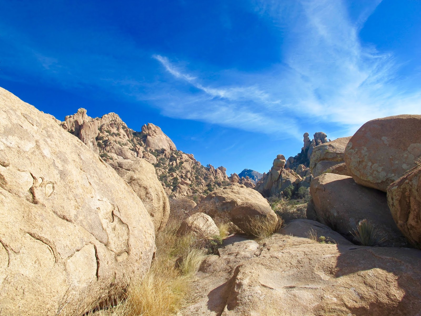
| The path to Fissure begins behind this rock outcropping |
 |
| Ira beginning climbing around a rock wall on path to Fissure. |
 |
| Cairn marking the summit of Fissure. |
 |
| View of the Huachucas range west of Fissure. The high peak on the left is Miller Peak; the one to the right of Miller is Carr. |
 |
| Miller Peak (left); Carr Peak (right). |

 |
| Cacti or cactus? |

 |
| The hike begins behind this stele commemorating the use of slave prison labor to build the road over Mule Pass (Hwy. 80). It also incorrectly identifies this as the Continental Divide, which actually lies 120 miles to the east in New Mexico. |

 |
| Zoom close-up of the house we're staying in. |


 |
| Bisbee. |

 |
| Juniper Flats. |


 |
| The Shrine |


 |
| The Shrine Keeper's House. |

 |
| View of Tombstone Canyon Road (former route 80, before the tunnel was built in 1958). |
 |
| Repair of Tombstone Canyon Road several years after the road was washed out making it impassable to cars. |


 |
| Ancient alien eggs waiting to hatch, or Mesozoic granite rocks—you decide. |


 |
| Cochise, the fearless leader of the Chiracahuan Apache people is believed to be buried somewhere in the Dragoons. The grave has yet to be found. |


 |
| The White House Ruins, adobe walls from a horse ranch, probably last used in the time of Cochise. |


 |
| Council Rocks, where Cochise and a general of the U.S. Army met to work out a treaty to end hostilities. |
 |
| A shelter occupied buy the Mogollon people a thousand years ago. |
 |
| Mortars for grinding grain (Mogollon, 1,000 CE). |
 |
| Mogollon petraglyphs. |
 |
| Part of Council Rocks. |
 |
| Mogollon petraglyphs. |
 |
| Mogollon petraglyphs. |

 |
| Council Rocks. |


 |
| The return featured grasslands. |


After Saturday's epic twenty mile hiking event, I needed something a little shorter to end my season. Having already established a tradi...


