This place is the great converter of heathens.
To science.
It provides irrefutable evidence this rock we call home is at least 1.8 billion years old, but of course much older. A trip to the river on the South Kaibab trail takes you down through the many distinct, multicolored sedimentary strata that constitute the upper reaches of the Canyon, and which present, as a layer cake, the image of this cañon grande we all share in our collective mind’s eye. These layers in turn rest on the much older Precambrian metamorphic rocks of the inner gorge, and on an unconformity in the geologic record.
From the trailhead, you hike down through the late Paleozoic white limestone of the Kaibab formation on the rim [250 years old (250 Ma)], down through the Coconino Sandstone (290 Ma) that coats and slickens the smooth rocks underfoot, the Redwall Limestone (360 Ma) that powders your boots, clothes, and skin, and finally to the early Paleozoic Tapeats Sandstone (550Ma), all layered on the much older metamorphic rocks of the inner gorge. Ultimately you find yourself hiking along the black cliffs that bracket the Colorado River and Bright Angel Creek. These Precambrian rocks, known as Vishnu Schist (1.8 Ba), merely expose the present-day level of excavation, and hide yet more treasures of our little world’s age.
Finally, you reach Bright Angel Campground, named after the creek it sits beside, a mile down through the Colorado Plateau, etched by uplift and water and geologic time over seven million years ago, to reveal nearly two billion years of geologic time.
Tomorrow, on the way to Cottonwood Campground, you will traverse a narrow three-mile long stretch of black Vishnu Schist rising on both sides of Bright Angel Creek called The Box, where temps can top 150 degrees, and which will spur you to hit the trail shortly after sunrise.

 |
I took advantage of a gentleman at the trailhead, who was conscripted by his own generosity into the role of trailhead portraitist. He was snapping pictures of backpackers and hikers just before they dipped below the white limestone that makes up the youngest layer of the canyon. After my departure, he was still shooting away, and perhaps still is.
My sunglasses are hanging by straps my wife Patty gave me after I lost three pairs of sunglasses in quick succession, including two that were quite expensive. I also have a lanyard attached to my phone, the result of temporarily losing my new iPhone 13 on a hike up Blackett's Ridge in January. If I were wearing gloves, I have no doubt they'd be connected to my sleeves with the mitten clips my mom attached to my winter coat when I was a kindergartner.
I started my hike in earnest around 6 am.
|
 |
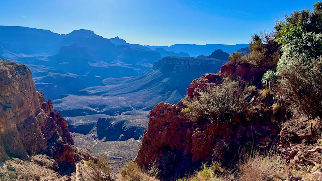
The morning sun really is quite special.
|
 |
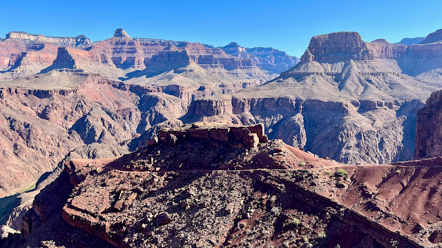
O'Neill Butte (1850m).
|
 |
A rather motley Big Horn Sheep peering down on the noisy Homo sapiens primates. One disturbing trend is the frightening rate of extinction among animals, especially large mammals. We have lost over 60% of earth's animals since the 1970s during this Sixth Great Extinction. That number is much higher for large mammals, and it is a rare hike indeed when I see anything other than a squirrel a coati or a lizard. Coupled with anthropogenic (human-caused) climate change, many scientists want to change the name of the current epoch, the Holocene, to the Anthropocene, to reflect our outsized role in causing both of these catastrophes.
|
 |
The trail has more than a few of these precipitous drop-offs.
|
 |
Shortly after taking this picture, I slipped and fell. Then I did it again a few minutes later. The second time I went down drew blood, from my knee which I banged against a rock, and from my right forearm, which I used to break my fall. Each wound was superficial and that was a relief. I swore to be more careful and mind the weight on my back that severely changed my center of gravity. Scroll down if you want to see the blood. I took pictures in camp while bemused neighbors looked on.
|
 |
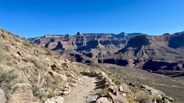
A master builders' trail. This route is frequented by short burro trains schlepping people, their bags, Phantom Ranch Canteen supplies, (including craft beer, I might add) and human detritus, also from Phantom Ranch; everyone else must pack out their trash according to the wilderness principal of leave no trace.
|
 |
My first glimpse of the mighty Colorado. The first Europeans to look down at the river from above, in 1540, couldn't imagine the scope of what they were seeing. They thought the river was a 6-inch trickle.
|
 |
Day hikers nearing the final set of switchbacks to the river and the black bridge that crosses it.
|
 |
The black bridge, built in 1928 when the only other way to cross the treacherous Colorado was first a cable car, then a poorly engineered suspension bridge, both connecting Bright Angel Trail to the south, and North Kaibab trail to the north. The silver bridge over the Colorado from Bright Angel Trail would not be built until the 1960s.
According the Arizona State's Grand Canyon History website:
Building the bridge in the remote and difficult-to-access Inner Canyon posed hazards and challenges to construction. Motorized vehicles such as cars and trucks could not access the deep recesses of the canyon along the river, so all materials were transported by mules or human power. National Park Service mules carried most of the 122 tons of materials for the construction of the bridge into the canyon. The one-ton, 550-foot- long suspension cables were carried down the canyon on the shoulders of 42 Havasupai tribesmen who walked single file down the trail while carrying the cables. They carried the cables over nine miles of trail and down 4,000 feet from the rim. https://grcahistory.org/sites/colorado-river-corridor/black-bridge/
|
 |
| My aim on this trip is to hike as many side trails as I can pack in, including this short two-mile river loop trail. I will probably do that on my second visit to Bright angel after my second night at Cottonwood. If I do hike these side trails, my total mileage for the week should approach sixty miles. 60 miles is a nice round number for 6 days of hiking. |
Unexpected video.
 |
The black bridge (looking back toward the tunnel, from whence I came).
|
 |
My Bright Angel Campsite, No. 16. I arrived by 9:30 and had my pick of the shady spots, which filled up quickly. I had shade for much of the day except a short two-hour window just before the sun dipped behind the cliffs behind me. I was able to stay shaded by moving my chair throughout the day. In my hand is perhaps my most important piece of kit: my Kindle reader. I am rereading Yuval Noah Harari's amazing Sapiens: A Brief History of Humankind.
|
 |
The afore-mentioned pics of my superficial but bloody bloody wounds (knee and right arm). I had to wash blood from both of my hiking shirts after reopening the wound on my arm several times.
|
 |
The view from my campsite looking east.
|
 |
| Today's stats. 7.2 miles down; 50+ to go.Pretty slow pace for a downhill trek, but especially after the fall, I really took my time. |
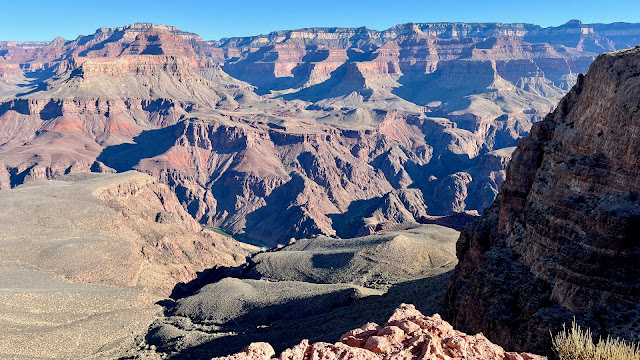
Pics that didn't make the cut, for no discernible reason.


No comments:
Post a Comment