When I hike alone, like I did today, I prefer a relatively well-trafficked hike in case I have an elder incident, stroke out, and collapse in a heap on the trail because, "just what the hell do you think you're doing at your age!?" This trail fits the bill for that, though most hikers don't do the whole grueling 9 miles. I did know what I was getting into as I hiked this trail once before, in December of 2019.Right away the trail starts its 3,000 foot ascent, reserving the steepest and rockiest bit for the last half mile when you're knackered. But it's a relatively accessible hike, out on Tucson's eastern periphery, a small mountain (it is called a hill) plunked down between the Santa Catalinas and the Rincons. It will get your heart rate up, get your glutes whining, and get the dogs barking from all the rocks and the pounding.
But the Agua Caliente offers a lot of scenic variety, and it's a great way to kill a morning sans other primates. I did, however, run into a group of four just-retired postal employees at the summit. These guys were younger than me by a bit, and were surprised to know I'd been retired almost 11 years (June, 2011. Yes, I am what Mitt Romney and other plutocrats would call a taker.). I have always thought having a mail carrier route would be great for getting in hiking shape, and apparently I was right.
 |
Hit the trail about 8am, temps around 40º, which would rise to the low 60s at the summit.
|
 |
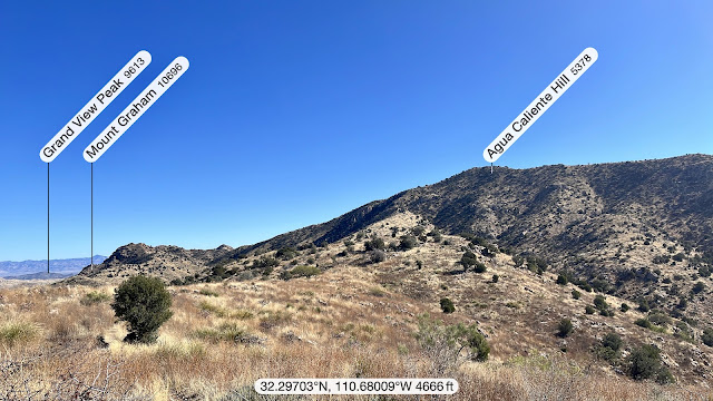
| First glimpse of Agua Caliente Hill (according to my excellent hiking app, Peak Finder—highly recommended). |
 |
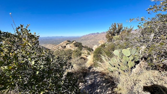
View of the trail after leaving the summit.
|
 |
Remnant of the Cat Track Tank water reservoir, 1.7 miles from the trailhead, taken on the return with better light.
|


No comments:
Post a Comment