 |
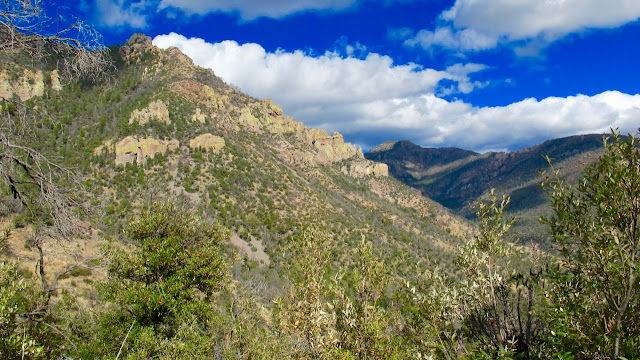
| Mural Hill in the distance. |
 |
| Mural Hill, center, behind the cholla. |
 |
| The path I hope to take next time out. |
 |
| Today's final destination. |
 |
| Mural Hill in the distance. |
 |
| Mural Hill, center, behind the cholla. |
 |
| The path I hope to take next time out. |
 |
| Today's final destination. |
 |
| Photo by Ira. |

 |
| Add caption |
 |
| Yes, Russ, the sky really is this blue in Arizona. |
 |
| The hike was actually about 8 miles as this counted the .6 mile Heart of Rocks loop twice. |
 |
| Looking out from Todd Bogotay's eco-community. |
 |
| Shelter and water collection platform built by Todd Bogatay for his eco-community. |
 |
| View from Juniper Flats. |
 |
| http://www.toddbogatay.com |
 |
| Beautiful Mexico. I could live there. |
 |
| Ira. |
 |
| Sitting down for lunch, in Mexico (note the border running to the horizon). |
 |
| Panorama view of Mexico. |
 |
| The purple line marks the border. |
 |
| A view northeast, toward New Mexico. |
 |
| The return trip only as I forgot to record the hike on the way out. |
I meant to hike this yesterday, but the temps were in the 80s and I hate having to carry so much water for an otherwise easy 11 mile hike, s...
