 |
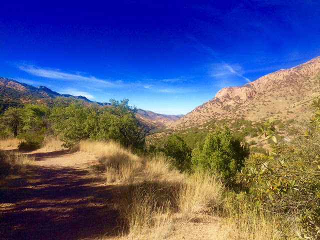
| Some nice views from the top, looking west toward Sierra Vista. |
 |
| Juniper Flats on the right and up. |
 |
| Quarter moon in a ten cent town (Emmylou). |
 |
| A regular Grand Teton of a hike. |
 |
| Some nice views from the top, looking west toward Sierra Vista. |
 |
| Juniper Flats on the right and up. |
 |
| Quarter moon in a ten cent town (Emmylou). |
 |
| A regular Grand Teton of a hike. |
Another strenuous hike to numb our brains to the idiot ICE-capades invading our cities and endangering our children and their parents, GD ne...

No comments:
Post a Comment