 |
| Photo by Misty Atkins |
I’ve wanted to hike this 20-miler since last year when I hiked the Douglas Spring Trail, and again a couple of weeks ago when I did a little 10-mile roundtrip on the Tanque Verde Ridge Trail. Both trails are in the Rincons as well as Saguaro National Park East. I also wanted to check out the two campgrounds on this route as my brother Jon is coming to town in January to train with me for our backpacking trip in the Grand Canyon, rim to rim to rim (R2R2R), some time next year.
Last year, I hiked the Douglas Spring Trail out past the Douglas Spring Campground two and a half miles to the Cow Head Saddle Trail, almost nine miles one way. At the saddle, I discovered a three way convergence of trails: Douglas Spring, Cow Head Saddle, and the mysterious little-hiked Tanque Verde Ridge. While the hike I was on last year was a challenging 17+ miles and over 3,700 feet of elevation gain, a point-to-point Douglas Spring Trail to Tanque Verde Ridge trailhead hike would add three miles and 1,200 feet of elevation. I would also need a second car to park at the Tanque Verde Trailhead, and a companion hiker who was up to the challenge of hiking 20 miles from dawn to dusk; after last January’s nightmare 18-hour slog up the Sutherland, I didn’t really want to be caught out after dark on an unknown trail. Enter my hiking pal Misty Atkins, whom I was introduced to last year by my friend Jacques (Jack) Simard of Quebec.
Jack is an amazing hiker ten years my junior and he had hiked with Misty and was impressed with her strength and stamina on the trail. She is late of Evergreen, Colorado and has done many fourteeners. Since meeting last year, the three of us hiked quite a bit together last December and January, including the challenging and stunning Pima Canyon Trail to Mount Kimball and back on the Finger Rock Trail, and the longer Mt. Wrightson Loop Trail This year, Jack is hiking in Mexico, so it would be just the two of us if Misty was interested. She was game and so it was on.
The weather turned out to be perfect for hiking this distance, despite temps around 30 degrees at the start. I doffed my nano-puff after 30 minutes. Temps would soon rise to the mid-sixties (50s at elevation), and the little 9-mph wind we had was obstructed by the Rincons. Cooler temps mean having to carry less water and I went through a mere four liters in ten hours. Azure skies didn’t hurt our efforts either and buoyed our resolve. We had originally scheduled this hike for Tuesday, with temps in the mid-fifties, overcast, and 20+ mph winds. Glad we waited.
 |
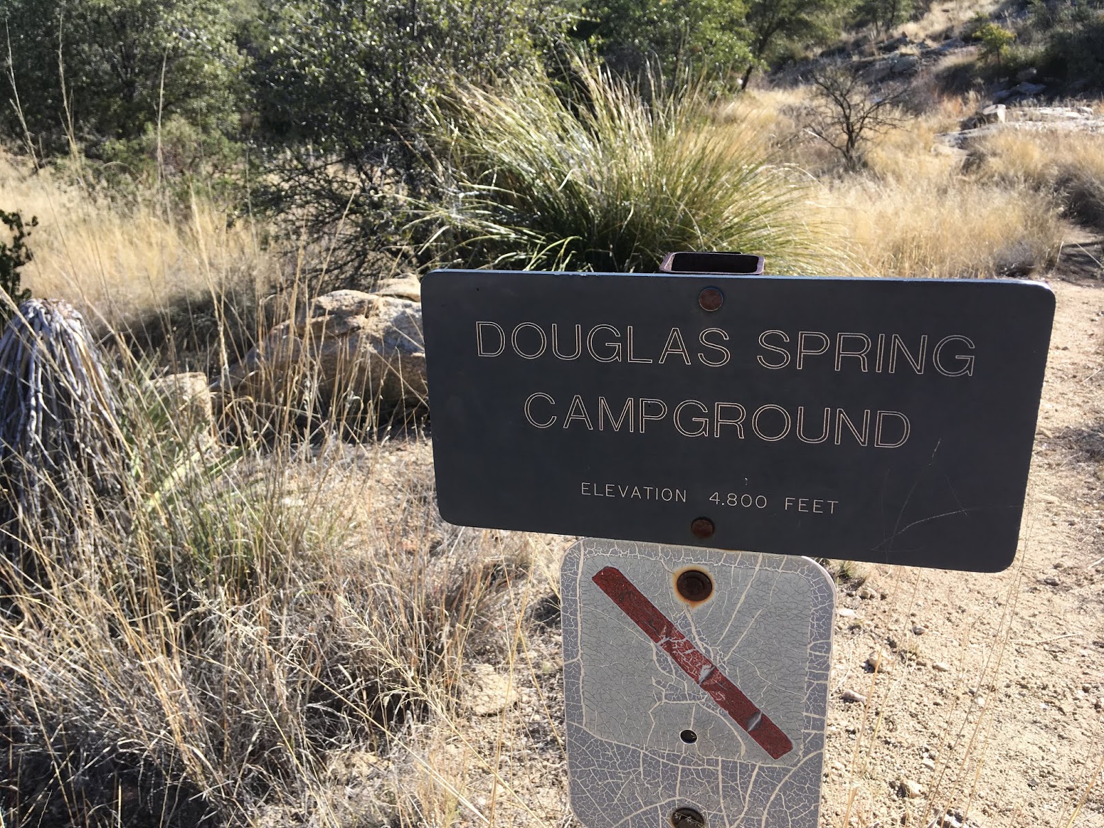
| After seeing both campgrounds on this hike, I think I prefer Douglas Spring for its variety of shade and sun exposure. The toilet facilities are also less sketchy. I can see the Juniper Basin being attractive in hot months, however, being tree-covered and at a higher elevation. |
 |
| Horse parking lot. |
 |
| Douglas Spring was running. In fact, all the rivers and springs in the area are after recent rains. |
 |
| A couple of fellows we met at Cow Head Saddle, one Green Valleyite (-ian), and his friend from Canada. They were backpacking our same route, taking two nights and three days, They had camped the previous night at Douglas Spring Campground and were heading for Juniper Basin this evening. That is perfect for carrying full-on heavy backpacks: seven miles per day. And actually, at this point in the trip, they will have climbed ¾ of the 5,000 feet this hike affords. |
 |
| Photo courtesy of Laurence Stevens of the Niagara Falls area in Ontario. |
 |
| Looking east toward Mica Mountain, a hike for another day. |
 |
| Tanque Verde Peak is up there some where. |


 |
| The old sign for the Tanque Verde Peak was lying unceremoniously on the ground next to the new steel replacement. (Photo by Misty Atkins) |
 |
| Of course, I couldn't resist having a cross to bear. (Photo by Misty Atkins) |

 |
| Turns out the peak was simply a collection of granite boulders we had to scramble up. |
 |
| God, why can't I get a signal up here? (Photo by Misty Atkins) |
 |
| Great 360º views from the peak. This is looking west-northwest toward Tucson and the Santa Catalinas. |

 |
| Mica Mountain. |
 |
| More granitic outcroppings. |
 |
| Juniper Basin Campground. Again, water running in the stream we crossed to get to it. |
 |
| Let's just say the facilities are rustic. But who needs a roof? |
 |
| There are bears and mountain lions in these mountains, but most of the fauna was unobserved on this day except the occasional bird. |

 |
| Only six miles to go, but mostly flat or downhill. |


No comments:
Post a Comment