Sunday, December 15, 2019

Finger Rock Trail to Linda Vista Saddle

Today I revisited the short but steep Finger Rock Trail in the Santa Catalinas, one of the more challenging trails in the area with its 2,500 feet of elevation gain mostly residing in the last two miles. Last year I joined the Oro Valley hikers and the weather turned to fog toward the top, obscuring the great views. The trail was also wet then, and quite slippery and dangerous in many spots. Today was sunny and dry and I made it up in 2 hours and 40 minutes but down in an 1 hour and 10. This trail takes you to the Pima Canyon Trail and Mt. Kimball (8+ miles round trip) or the Linda Vista Saddle (6.2 miles). Last year my hiking pals Jack Simard and Misty Aiken joined me for a wonderful point-to-point hike up Pima Canyon to Mt. Kimball and down the Finger Rock Trail

Today's outing was the second in as many days with the Tucson Hiking Meetup Group, again led by Stan, and he led us to Linda Vista Saddle, same as last year's hike. And this saddle truly is muy linda. Stopping at the Saddle shaves 2.5 miles off the total mileage, but 1,500 feet of elevation gain as well. Until I get fully acclimated to the elevation, I'm okay with that. I have an epic hike planned for next Friday so I can wait.


There's the finger, wagging, pointing up to the heavens, or simply flipping the humans off—depends on your mood.


Saguaros dot the lower reaches of this and most canyons in the area.


One gets to elevation pretty quickly on this steep trail.


There are many flat, exposed sections of rock on this trail. When they're dry they're no problem; when they're wet, like last year's hike, they are simply treacherous and you better have hiking poles or even micro spikes as the drop-off is precipitous.


The is the backdrop to the Linda Vista Saddle, where we had lunch.


Another section of exposed rock, albeit dry today.

Saturday, December 14, 2019

Soldier Trail to the Soldier Falls

Beautiful day for a hike—temps in the mid-70s, clear skies, and very little wind until our return. Unlike the Blackett's Ridge hike, which has a similar elevation gain, this hike's ascent was front-loaded; from the trailhead we immediately started to climb. The Soldier Trail ends up at a prisoner camp dating to the 1930s (the government used prison labor to build roads in the Santa Catalina Mountains) as well as a series of water falls and pools and cliffs, the latter used by the local climbing and repelling community. A fairly short and easy hike, but with lots of variety packed in.


Ten hardy hikers led by our fearless leader, Stan. From the trailhead, the trail immediately and steeply ascends.


Stan, peering into Soldier Canyon. Lots of water running today.

Soldier Canyon.

We hike across this glade before turning north (left) just before reaching the rock formation in distance.


Some sort of foundation from the prison camp. According to the Park Service website:

The name “Prison Camp” came from the Federal Honor Camp begun in 1937 to house federal prisoners supplying labor to build a road for access into the Santa Catalina Mountains. Prisoners had been convicted of federal crimes ranging from immigration law violations to tax evasion to bank robbery.

During World War II, many of the prisoners of this camp were conscientious objectors whose religions prohibited them from serving in the military. Some were Japanese Americans protesting the “Japanese American Relocation,” the largest forced removal and incarceration in U.S. History that started after the Japanese Navy attacked Pearl Harbor in 1941.

Also in the neighborhood is the 
Gordon Hirabayashi Campground, named after a prisoner who protested the Japanese internment in WWII.


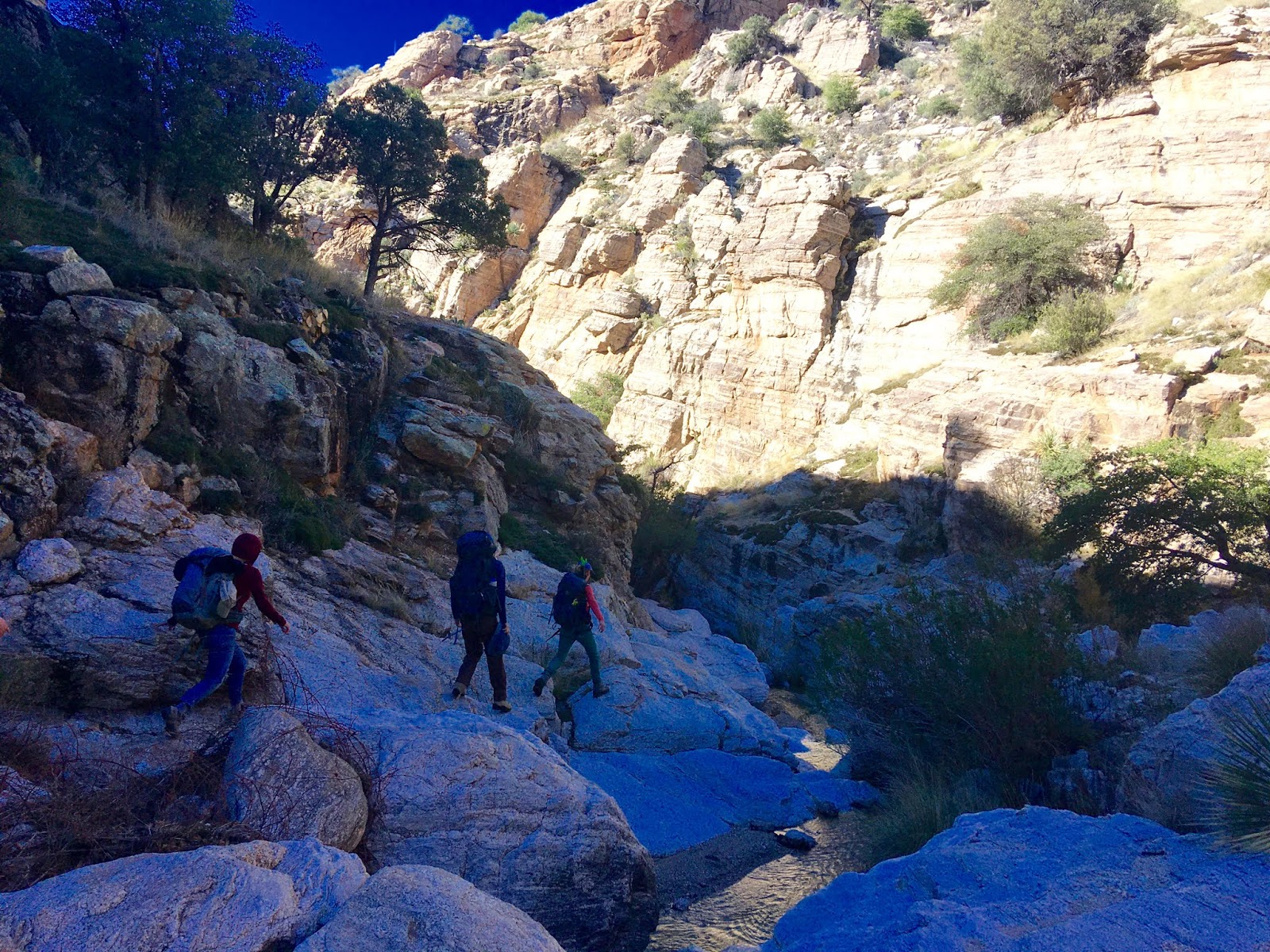
We took a little detour on our return (see map above for a loop at the end of the route. This was a steep rocky descent past the water falls and pools to the stream bed below, then another steep scramble up rocks to the trail we came in on.

One of the many refreshing pools.


This crevice was precipitous to the floor.


Waterfall.
Waterfall no. two.


Hikers we followed as we were't entirely sure of this spontaneous detour's route.
Lots of lichen-covered rock formations (reminding me a little of the Chiracahuas, a hundred miles to the east.


Look closely and you might be able to spot the climber.


Wednesday, December 11, 2019

Blackett's Ridge Redux Redux

Blackett's Ridge Trail is my go-to hike if I have three hours to spare and want a quick test to see if I am still alive—or approaching death by getting effing old—and it's so accessible being basically in town, or at least the trailhead is. This is my third hike up this wonderful ridge, the two previous visits being in January of 2017 and December of 2018. In fact, this picture to the left (and two others) was lifted from the 2017 hike as most of my pics today were shot using my good camera, my trusty old Canon G12. Unfortunately, I left my cable to import photos to my computer back in Iowa.  This is unfortunate as the skies cleared and opened up a lot of great shots. When I get my replacement cable, I'll rectify matters, unless I realize, rightfully, that it matters not as no one actually looks at this blog.


I am actually surprised made it up and back in less time this year than last year. I do now have my National Park senior pass. As they used to say in those old Clairol ads, you're not getting old, you're getting better. Hah!

Ok, my good pal Ira wasn't on this hike—he's in Newcastle, UK visiting his Premier League grandson DeAndre,  and attending Newcastle United matches—but again, back to the camera. I took a picture of the stream this year, and my feet, shoes doffed, but for naught. This picture is from 2017, but in February and with snow melt. I was surprised that the stream was so high, unusual for this time of year. But the rains have been torrential lately.


Photo from 2017. This is actually what it looked like today, after the clouds burned off.

A rocky and steep trail.


False summit numero dos.

The actual summit, with the skies beginning to clear.


Hugh Norris Trail to Wasson Peak 26

Today, we hiked the 10-mile Hugh Norris Trail to Wasson Peak, which also has around 2,400 feet of elevation gain.  I hiked extra hard today ...