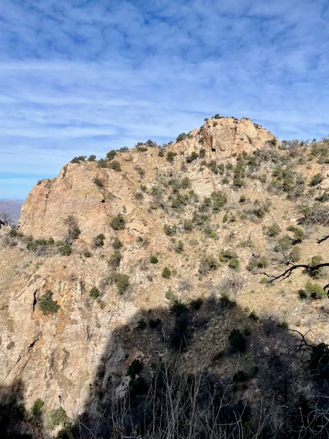
The Pima Canyon Trail is finally fully open and hike-able in its upper reaches after the devastating Bighorn fire in the summer of 2020 scorched 120,000 acres of the Santa Catalinas.
I hiked up to where the Bighorn fire descended into the canyon, in February of 2022 (see pic below). That was a little over four miles up, just past the dam. It was a shocking change from a previous
point-to-point hike Misty, Jack (Jacques, from Quebec) and I did in January of 2019, nearly six years prior.
This trail is actually two hikes: the low hanging, easily-accessible first two-thirds rates as easy to moderate and attracts a lot of traffic, mostly casual hikers; the final third is a very hard and steep climb that winnows the hikers down to a few crazies, like us. We saw only three other hikers past the dam.
The first four miles, up to the dam—a popular destination—sees an elevation gain of only about 1,500 feet and I consider that an easy to moderate hike; the last 2+ miles to the summit accounts for the remaining 3,000 feet of gain, with grades of 20-30-even 50+ percent. This segment is a different hike altogether, very hard and somewhat dicey, as the 2020 fire destroyed many parts of the trail and it hasn’t yet been fully restored by the park service. They tend to focus on the well-trafficked segments; even rerouting portions. They did that on the Pima Canyon Trail starting about mile 3.1 and AllTrails hasn’t yet updated their map, which threw us for a literal loop, and adding to our confusion as well as our mileage (see photo below). We also had a slight detour toward the top of the canyon when we scrambled/crawled up the steep (55% grade) side trail to the Pima Saddle only to have to slide back down when we realized our error.
Great weather, albeit a bit warm on the afternoon descent. A whopping 55º at the start around 7:15, warm for this time of year; 75º at hikes end around 4:00.
 |
I think the actual mileage is about a mile less than I recorded. Might be a GPS or AllTrails issue I'll have to sort. |
.jpeg) |
The Bighorn fire which burned from June 5th to July 23rd, 2020. The fire was the result of a lightening strike. (Photo by Wendy Witzig)
|
 |
Mortars as I noted on a previous hike: Grapefruit-size mortars used by ancient Arizonans to grind mesquite and other plants. These people were probably of the Hohokam culture who lived here between 200 and 1,400 ce.
|
 |
Lots of sunny blue skies, but quite shaded at trail level until around noon.
|
 |
| Very little water during this draught. (Photo by Misty Atkins) |
|
 |
(Photo by Misty Atkins)
|
 |
| The dam, such as it is, is a popular destination, perhaps because it's a good lunch spot, and also because the trail takes a sharp turn toward the steep a half mile earlier, around the 3.5 mile mark.. |
|
 |
The sun finally popped over the ridges around noon.
|
 |
This photo barely captures how trail grew progressively sketchy and even dangerous in spots, especially in the upper reaches where is is precipitous.
|
 |
The entire ridge between the Pima and Finger trails looks like a zombietree apocalypse.
|
 |
Yes, add a damned arrow as there is an actual spur trail to the summit. Criminy.
|
 |
Misty, looking for her roof.
|
 |
We had a stunning lunch spot.
|
 |
(Photo by Misty Atkins)
|
 |
| (Photo by Misty Atkins) |
~300º view of the top.
 |
| (Photo by Misty Atkins) |
 |
(Photo by Misty Atkins)
|
 |
Overall, a fairly shaded day until afternoon and of course on the ridges and summit. (Photo by Misty Atkins)
|

.jpeg)


No comments:
Post a Comment