It has taken nine years, but today I finally got to return to hike Miller Peak from the north, up from the remote Ramsey Vista Campground on the Carr Peak trail. This is one of the first hikes I did with the Bisbee Mule Team hiking club, so-called because many of their hikes are in the Mule Mountains surrounding Bisbee. This was one of their more adventurous and challenging hikes, and one I particularly enjoyed because I got to do it with my then new acquaintance Ira Yedlin. Ira would become one of my best friends and a frequent hiking partner for years.Several things have conspired to keep me from returning to this hike. A big one is the need for a high clearance vehicle to make it up Carr Canyon Road, a very rough, steep rock-strewn road of switchbacks and single lanes—40 minutes to go 6 miles. Lucky that Misty still has her old Toyota 4-runner from Colorado as well as the driving skills to drive up that crazy rough road. Another common impediment is always timing the weather. This is not a fun hike in the snow and cold and historically, if you don’t do it before mid-December, you might have to wait until the following year when the warmth returns. This year, climate change and La Niña colluded to create a pattern of drought and heat that have enabled this hike. I would gladly give up the hike for a return to weather normalcy, but the genie is out of the bottle so we soldier on as if things are normal. Scary climate, but beautiful weather for winter hiking.
The conditions today were quite nice, 50º at the trailhead at over 7,000 feet; 60º at the Miller summit three hours later. There are actually two peaks to summit on this hike. Carr Peak (9,236 ft.) is only slightly lower than Miller (9,456 ft), and in its shadow in terms of the number of hikers ascending it. It isn’t even actually part of this hike, but it is so easy to get to from the route, and only 0.3 miles and about 240 feet up from the main trail, it seemed like a no-brainer to knock it out.
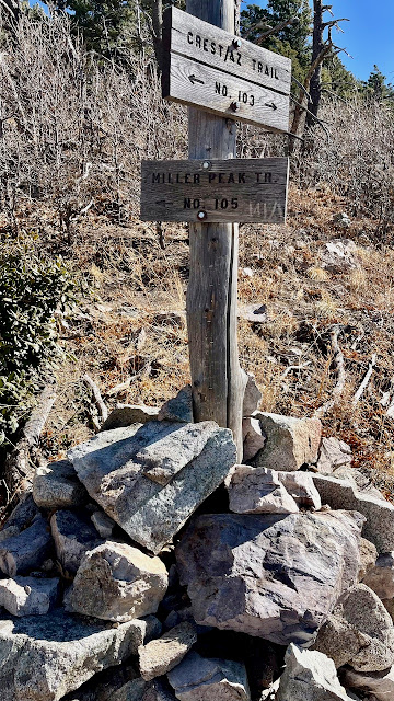
I would rate this hike as hard, as does AllTrails. This is partly because we start out in the thin air of the 7,000 foot trailhead, but also because of the serious elevation gain that starts immediately from the trailhead and continues unrelenting until the Carr summit almost three miles later. The trail then descends into a beautiful glade before again climbing steeply up the Crest Trail and then the half-mile spur to Miller Peak. Also, the hike is over 12 miles round-trip.
 |
Misty suggested I take a picture of the extremely rocky trail bed during steep ascent starting out.
|
 |
Old Sawmill Trail
|
 |
Our first glimpse of the first peak we would summit.
|
 |
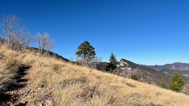
Great variations of scenery throughout this hike.
|
 |
The spur trail to Carr Peak was a short 0.3 miles and only about 200 feet up from the main trail. Here, looking southeast toward Miller Peak (our next destination), and Mexico, where the mountains are cerros.
|
 |
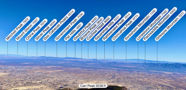
East from Carr.
|
 |
North from Carr.
|
 |
After leaving Carr we descend to a valley glade and start the climb up to Miller Peak, where we'll have lunch.
|
 |
The Bathtub. This spot is a great camping area or just a place to access a spring fed pool of water.
|
 |
The steep 0.5 mile spur up to Miller Peak from the Crest Trail.
|
 |
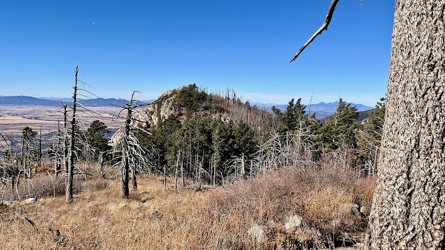
Hulking reminders of the massive fire that swept through the southern Huachuchas over 20 years ago.
|
 |
The view from Miller Peak.
|
 |
(Photo by Misty Atkins)
|
 |
(Photo by Misty Atkins)
|
 |
The bumpy descent down Carr Canyon Road was as slow as the ascent: 40 minutes. For an appreciation of the road conditions, watch the short video below.
|


No comments:
Post a Comment