Thursday, December 16, 2021

Wasson Peak Via the Sweetwater Trail

Misty, from Tucson, and Danny & Jack from Quebec.
Been working my way up to this hike for two weeks now, since I twisted my ankle coming down Pontatoc Ridge. The previous couple of hikes, with the exception of the Phoneline Trail portion of Sabino-Phoneline, featured fairly flat and boulder free footbeds, giving the sprain a chance to heal. The ankle felt pretty danged good today and good thing, too, as this is a hard, nine-mile out-and-back, with substantial elevation gain and lots of rocks and boulders. 

I also got to hike with my pals Misty and Jack, and Jack's friend Danny. All strong hikers, we did this in under 3 ½ hours. Beautiful weather, chilly at the start, but warming up to the high sixties by the end. 


This hike is actually in the Saguaro National Park West, and these big boys figured prominently throughout the day.


Some pretty stunning 360º views from the top. And windy and chilly.


The obligatory panorama from the peak.


Additional Photos by Jack Simard


Monday, December 13, 2021

Phoneline-Sabino Canyon Loop

Another beautiful day and another easier rehab day to get my sprained ankle back to 80 percent or so before a more serious hike on Thursday. That will also be a 9+ mile hike, up to Wasson Peak via the Sweetwater trail, but rated hard because of elevation gain. Today was a fairly easy 9.2 miles and 1,100 feet of elevation gain.

The route was the wonderful Phoneline Trail to the ½ mile-long Sabino Canyon Trail connector down to the Sabino Canyon tram road for the final ~4 miles, a moderate rated hike. While Phoneline itself is quite rocky (not the best for a twisted, sprained ankle), the last four miles were downhill on a paved road through Sabino Canyon—just what the doctor ordered.

All trails in the Sabino Canyon Recreation Area literally start out as a walk in the park, before diverging at various points along the main artery.


Up towards Blackett's Ridge, perhaps my favorite "workout hike."


The Phoneline Trail parallels the Sabino Canyon tram road seen in the distance, but higher up on the canyon walls.


A sample of what the trail was, rocky, ascending, and shaded for much of the way this time of day.


Looking back from whence I came.


Aspens beginning to show their colors.


Saturday, December 11, 2021

Cactus Forest Trail

A rare crested saguaro (center) made fuzzy by my 
old iPhone SE’s substandard camera.
Today I chose an easy 10-mile out-and-back, with only 1,000 feet of elevation gain, as I’m still nursing the sprained ankle I sustained on my first hike this year coming down off Pontatoc Ridge. The Cactus Forest Trail resides in the Saguaro National Park East on the eastern edge of Tucson where Broadway runs out of real estate.

Another plus of this trail is the sand and gravel trail bed. Not a lot of places to twist an ankle, and it’s pretty forgiving. 

The trail is also open to bikers and horses, and the few of the latter I saw were confined to the first two miles. Temps around 45 when starting out at 10, rising to the high sixties by the end of the hike.


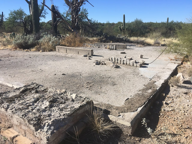
Remains of an old lime kiln.


 My lunch spot on what passes for a hillock.


“He went that-away.”


Santa Catalina Mountains in the background.


Riding my Birthday, and a Bit of My Friend’s to Boot

I rode my birthday yesterday after taking my 69th off last year because I was still recovering from shoulder surgery in May from my hiking ...