Saturday, December 22, 2018

Loop de Loop

Since I hiked over 17 miles on Thursday, and considering my advanced age, I didn't feel I should push it by taking on another strenuous hike with only one day recovery, so a somewhat more isometric bike ride seemed in order. Tucson has a pretty amazing  recreation trail called the Loop, and it's over a 130 miles all told. We live about 1 ½ miles from the closest access point, a quick ride down La Cañada, which itself has a bike lane.

The loop is impressive, but I must say Des Moines, a much smaller city, has three times as many paved recreation trails as Tucson, over 400 miles worth. However, we generally don't have 75º temps in late December. I know, we probably will in the near future, but in the mean time...

The Loop is much wider than many of the roads I biked in Ireland 20 years ago. On the other hand, I love Ireland; Tucson-the-screaming-traffic-city, I tolerate.

Friday, December 21, 2018

Douglas Spring Trail to Cow Head Saddle

Finally tackled a hike with some distance yesterday, over 17 miles out and back, and 3,700+ feet of elevation gain. I will admit, at the end of the day, I was a more than a bit knackered, but today I feel just fine. 

I recently discovered, thanks to my Canadian hiking pal Jack, that the secret to getting beyond 10 miles on a hike is carrying enough water; and the best way to do that, again according to Jack, is with a hydration backpack. So now I have this wonderful Vaude 25 liter backpack, with a three-liter Platypus hydration bladder, that allows me to carry up to five liters of water; previously I could only carry two. More on that on a later post. 

I’ve hiked much of this trail before, at least the 12.4 miles round trip to Douglas Spring Campground. That was perhaps 15 years ago. This time I wanted to push on to Cow Head Saddle, where the Tanque Verde Ridge, Cow Head Saddle, and Douglas Spring trails all converge. The next challenge will be to hike the Douglas Spring trail out and take the Tanque Verde Ridge trail back. For that, however, we’ll need a car at each trail head. Next month, perhaps. 


Started out at 27º at 8 am. By the time I finished the hike mid-afternoon, the temperature was 74º.

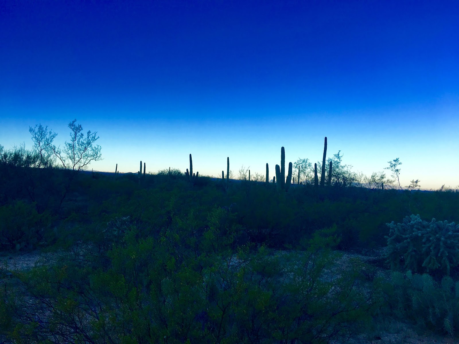
Beautiful crisp, clear, blue day.
 

Looking back west to Tucson.

I would soon leave the cacti behind.
This hike would take me well up into the Rincons, the range to the east of Tucson.


Douglas Spring Campground is pretty minimalist, with fewer than half a dozen camping spots, a hitching post, and an outhouse.


Great spot for a needed break.


Water filling station. These springs are potable once you filter out the giardia, and other parasites.


The trail, unused as it is, grew tangled with scrub oak, manzanita, and juniper. Much more overgrowth and I'd have to bushwhack my way through.

A sad totem to the horrific fire that swept through the area in 1989.

Looking north to the Santa Catalinas.


One final hump.


My lunch spot, looking north on the Cow Head Saddle Trail.

This is the trail I'd lake to hike back on in the future. It would up the mileage to 20 out and back, and we'd need another car to get back to the Douglas Spring trailhead.


Looking back from where I'd come.


Back again in cactus land.


Fauna of the day: a youngish tarantula I believe.
Add caption

Sunday, December 16, 2018

Linda Vista Trail to Pusch Peak

This was a surprisingly challenging bit of real estate. While it was only 4.3 miles out and back,  the elevation gain of almost 2,700 feet occurred primarily in the last 1.5 miles. Any steeper and we would have been on all fours or pounding pitons into the rock for purchase. Made it up in under 1:40. 

Had a ten minute conversation on the way down with a Chinese couple from Taiwan. The woman is a Mandarin teacher in a Tucson high school. She told me about an authentic Chinese restaurant (besides our favorite, Jun Dynasty 和顺园—literally, amiable garden), called Ba-Dar (八达). It looks authentic enough, if the Chinese menu is any indication. Can't wait to try it. 

But back to hiking. Also on this hike were John, the hike leader, a geographer, and member of the Oro Valley adventurers (which we all are), Phil, a hydrologist and professor with the University of Arizona, and Jack, a retired Canadian Air Force pilot.

That rock outcropping is masking our peak, but that just means we have to climb beyond it.

Beautiful day. Chilly 50 degrees at the start, but I almost immediately doffed my micro puff jacket. It ended up in the low 70s by the end of the hike.

Friend and hiking pal Jack.


Beautiful pic by Jack.

Another beautiful pic by Jack. 
Yet another photo by Jack.

This is it (photo by Phil).

You can just make out the circular Geologic Survey medallion pressed into the rock.

This is it in closeup, rather battered.

Another group of hikers on the adjacent outcropping.


We actually made it up in under 1:40, but I forgot to take a screen shot until, well, 1:44:33.

Jack, me, Phil, and John (photo by Jack).


Jack, happy as usual with the payoff of great views.

Oro Valley in the background. Thank the hiking gods we're well beyond the cacophony of exurban sprawl.

Searched in vain for desert bighorn sheep, who populate these hills.


More Oro Valley views.

Some spectacular clouds today.


Back to the trailhead.


Hugh Norris to Wasson Peak

After Saturday's epic twenty mile hiking event, I needed something a little shorter to end my season. Having already established a tradi...