Wednesday, January 31, 2024

Soldier's Trail Redux 2024

Aside from leaving my phone at home and driving the half hour back to retrieve it, and the half hour back to the trailhead, today’s hike went off with nary a hitch (well, the AllTrails app paused for half a mile mid-hike, but to no import). Temps in the 50’s at 9:30 (one benefit of starting late), rising to 70° when we finished, but thank the weather gods they didn’t top out at today’s high of 77°.

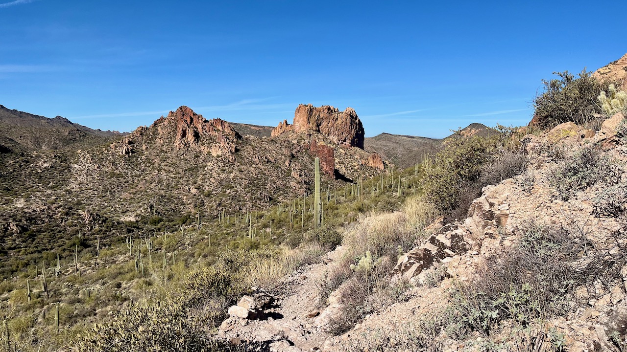
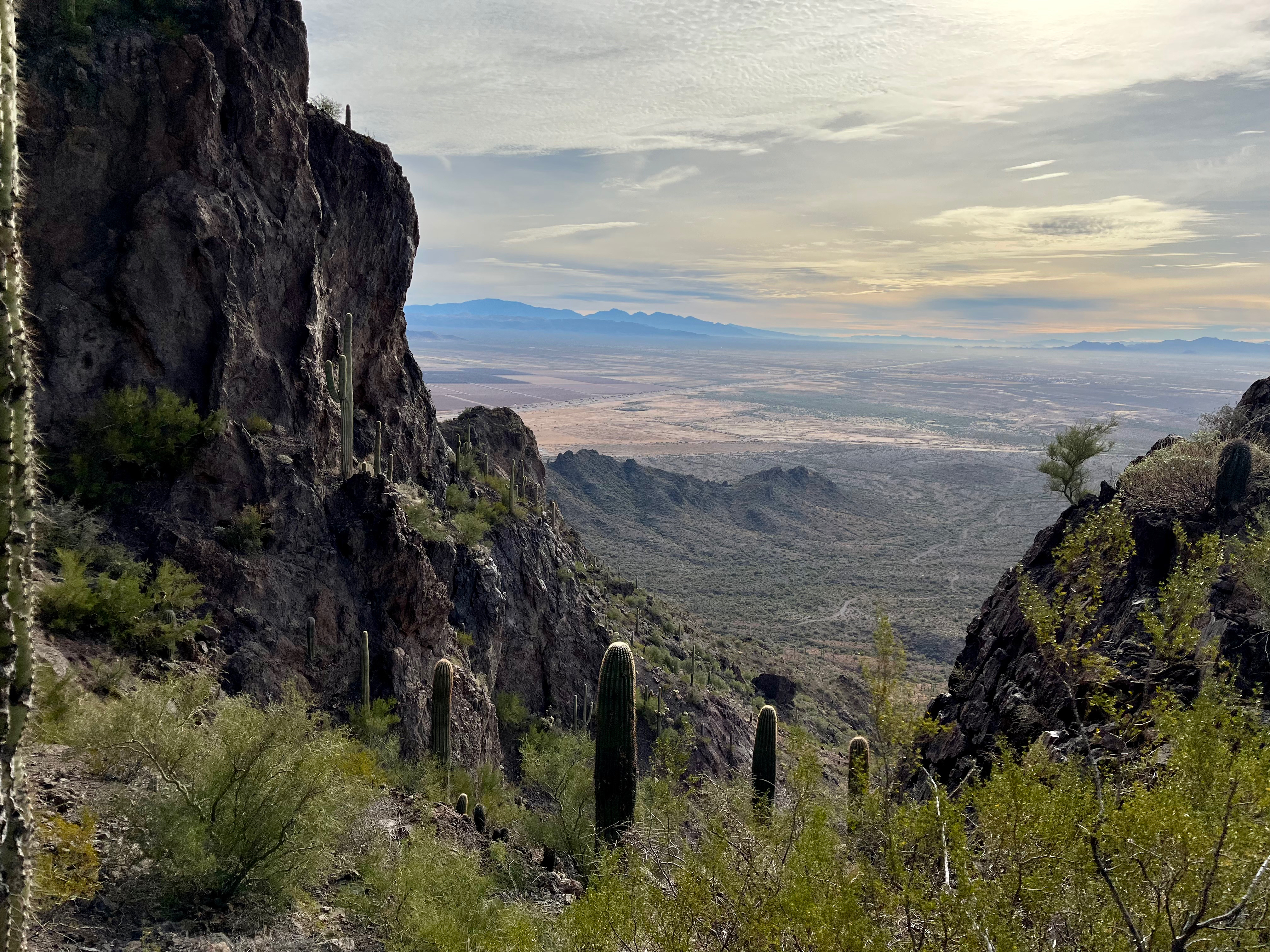
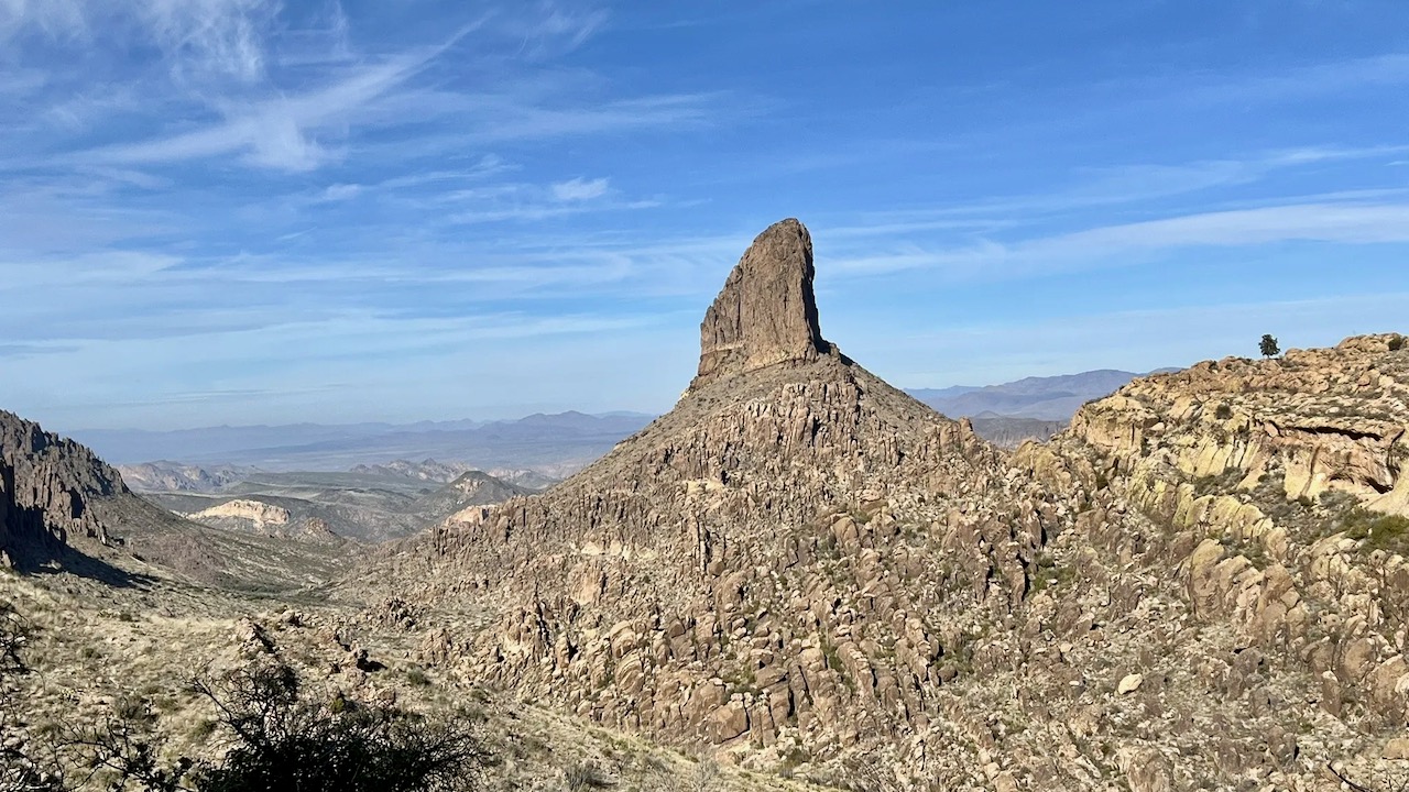
Today's hike, on the Soldier Trail, will really test your mettle and your lung capacity, starting out as it does climbing over 1,500 feet in just a tad more than a mile, forcing hikers to clamber over rocks and boulders and talus. Then as a reward, the path levels out a bit, skirts a striking canyon, the eponymously named Soldier Gorge, and wends it's way down to the creek bed we will follow to the stunning falls that fill a swimming hole that must beckon hot weather hikers (scroll down to see a video of this beautiful resting spot). We saw but two other hikers today, a guy walking his free-range beagle (which we heard but never saw); and a solo female hiker who was turning around after the worst of the climbing (but maybe the workout was the point).

I have hiked this trail at least twice previously: two years ago in January of 2022, and in December of 2019. These links will help explain the nature of the WWII prison camp who's remnants (footings, etc.) are at the trail's end.


This photo cannot nearly capture the steepness of this trail, a steepness that begins almost immediately.


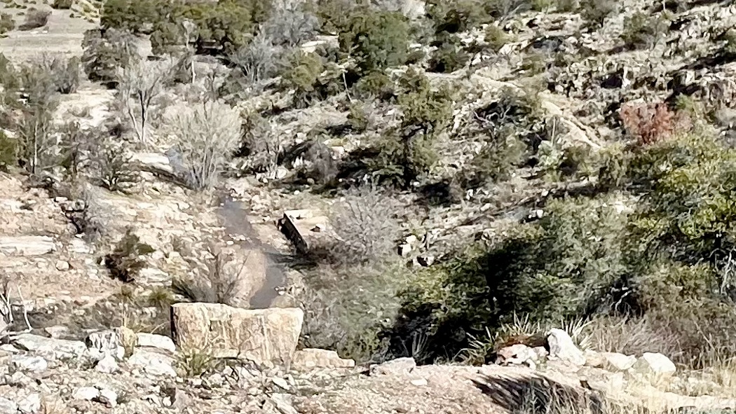
Jack looking down into Soldier Gorge.


Remnants of the WWII prison work camp. The prisoners were tasked with building roads on Mount Lemmon.


Closeup of a concrete footing from a prison building (next to the creek).


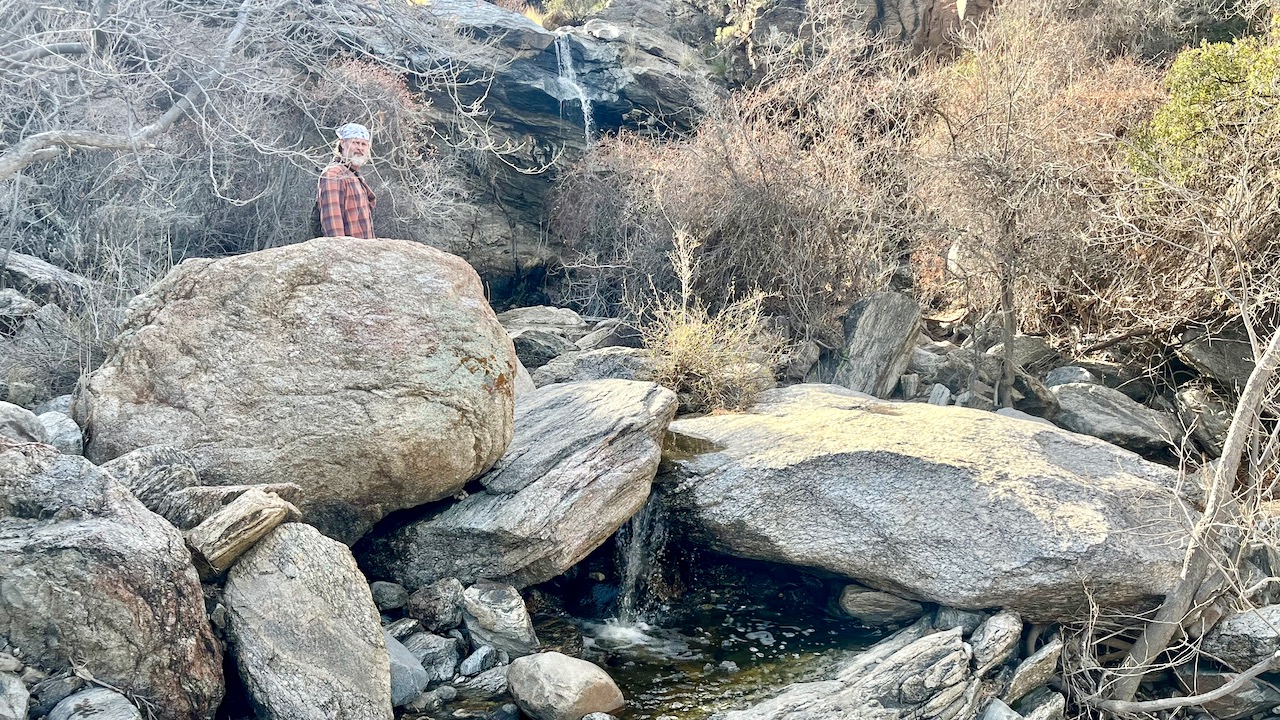
The creek disappears into the rocky hillside through which it has cut, with the help of freeze-thaw, over the millennia. We had to hike up and over to find a waterfall and a secret pool of water for drinking or more likely, swimming and cooling off.


Waterfall and swimming hole video.


Monday, January 29, 2024

Ernie's Falls & Bridal Wreath Falls

Hiked out to Ernie's Falls in Saguaro National Park East today. First time ever seeing Ernie's Falls, which resides just 0.6 miles north off the Douglas Spring's Trail on the same path that also serves Bridal Wreath Falls. Bridal Wreath Falls is the main attraction in the park, no doubt because it's just 0.3 miles to the south and east. Perhaps because Ernie's Falls isn't as accessible from the trail (it's be a scramble down a hill with no describable trail, which would violate my no-bushwhacking rule), as well as being a half again as far from the main Douglas Spring Trail as Bridal Wreath Falls, Ernies Falls gets a fraction of the visitors. This fact also draws me to Ernie's. 

Bridal Wreath gets all the love and attention, and it is often choked with visitors: it's a readily accessible destination and a relatively short and easy 6-mile hike. In fact, on our return, we ran into three hiking clubs or tours of a few dozen older primates vanned in from surrounding areas. I was so glad we hit the trailhead at eight so as to avoid these crowds. We even managed to get Bridal Wreath to ourselves once the trio of hikers we met there departed.

I have hiked the Douglas Spring trail many times, usually the 19 miles round trip to Cow Head Saddle, like I last did two years ago, but occasionally to the Douglas Springs Campground, especially on solo hikes like I did last year, when I want to stay relatively close to civilization for safety reasons. I also backpacked and camped at Douglas Springs four years ago with my brother Jon from Texas. 

Warm temps near 50º at 8 am, rising to the mid-sixties at hikes end around 10:30. A little wind at elevation signaling the cold front moving in, vestiges of the atmospheric river flowing currently down the West Coast. One reason I will be packing in the hikes this week is next week doesn't look too promising, with much colder temperatures in the 50's and 60's, and a potential for rain.


Spot the three mule deer who came over to greet us, and possibly beg for food.


Ernie's Falls from up on the main trail.


A closer view.


Maximizing my iPhone's zoom.


Bridal Wreath Falls after the trio of hikers from New York cleared out.


Jack.


Looking west toward town.


Photo taken from my amazing Peakfinder app. Note all the snow on Mount Lemmon. we have had a lot of rain this season, a prediction of this current el Niño.


Thursday, January 25, 2024

Picacho Peak 24

After four straight days of rain (not complaining in front of the locals), we finally made it back out for a hike. And what better way to get the heart pumping than driving up the I-10 to Picacho Peak State Park and putting all your muscles (and your lungs) to work. This short hike has over 2,000 feet of gain in 1.6 miles, (much of it with cable assists as it's too steep and perilous (unless you are an experienced free soloist).

I last hiked this trail in December of 2021.

Joining me today was my friend Jack, and my friend and hiking partner, Misty.

Overcast and 53º at the start, a few degrees warmer at the end when the sun peeked out. I always recommend this unique hiking trail if you have a couple-four hours to spend.


Stock photo stolen from the interwebs.


From a previous trip as this sign disappeared from the saddle, about halfway up. I told you so M. ;-)


Misty.


Photo by unsuspecting Chicagoan down visiting his snowbird parents in Phoenix.

Friday, January 19, 2024

Weaver's Needle Loop

Rarely do I get a chance to show, in two adjacent hikes, why trail conditions matter. Sunday I hiked the David Yetman trail here in Tucson with my pal Jack; today, it was the Weaver’s Needle Loop two hours north, with my hiking partner, Misty. 


The Weaver's Needle Loop is in the Superstition Range just east of Phoenix, near Apache Junction. Superstition mountain is famous—or rather infamous—for being home to the Lost Dutchman Goldmine. Legend has it that there is a rich gold mine hidden somewhere near the Weaver’s Needle, a magnificent volcanic remnant that rises up majestically from the floor of Peralta Canyon. Several people have gone missing over the decades looking for the mine, a search that goes on to this day. We, however, are driven not by gold and greed, but by the incredible canyon views. The Peralta Canyon and its hoodoo sentries are motivation enough.


Both trails are roughly 12.5 miles long. The Yetman has 1,300 feet of elevation gain, while the Weaver’s Loop trail more than doubles that. But what really separates the two trails is the incredibly rockiness of the disparate trails comprising the Weaver’s Loop. For comparison, and to reflect the importance of train conditions, our pace on the Yetman out-and-back was 3.2 mph; the Weaver’s Loop, a stodgy 2.4. This was perhaps the rockiest trail I have ever hiked, with large boulders to scramble over, smaller boulders primed for wrenching an ankle, and scree-cloaked inclines that challenge any ascent or descent. Were it not for the amazing views, I would not recommend it. But the views are incredible, and might be enough to bring me back for a redux. That said, I am glad I finished it, and don’t need to hike it again in the immediate future. And with that dies my dream of finding the the Lost Dutchman Gold Mine that will make me filthy and rich.


I really recommend hiking the loop counterclockwise for a couple of reasons. The trail is mostly sun-drenched, with the only respite on the last leg: the Peralta Trail. The late afternoon sun dips behind the hoodoos, and overgrown foliage keep the trail shaded or sun dappled. Also, arguably the most beautiful views are toward the end of this route. 


The trail was mostly easy to follow, with the exception of around 5 miles in from either trailhead, where it was quite overgrown. I would recommend long pants on this trail. While there are multiple wash crossings, there was no water flowing and one can get by without waterproof boots. And ankle-high boots are highly recommended lest one suffer a sprain from the rough terrain. We hit the trail at 8:30 and saw no other hikers until we hit the Peralta Trail at around mile 8. Get to the trailhead early as the lot fills up by 9. I used all of three liters of water. Temps were 50°-73°.


View from the parking lot. The lot fills up quickly after 8:30.


(Photo by M


Where we are heading.


Phoenix is somewhere over that last hill, thankfully its unsightliness out of sight.

Video panorama from the hike's apogee.


Hoodoos reminiscent of the Chiricahuas.


Lunch at the Fremont Saddle overlooking Weaver's Needle.


Hoodoo closeup.


Yet more hoodoos, these more suggestive of the Dragoons than the Chiricahuas.


This view has it all: arch √, moonrise √, saguaro √.


The macrocosm of ruggedness is reflected in the ruggedness of every trail in this range.


Hoodoo sentries standing guard over Peralta Canyon.


Apparently an R.D. from the previous century, or the one before that, felt a need to immortalize his initials into this boulder near the Peralta Trailhead. I don't believe in superstition (religion), so not me in a previous life, swear to, well...


Hugh Norris to Wasson Peak

After Saturday's epic twenty mile hiking event, I needed something a little shorter to end my season. Having already established a tradi...