Wednesday, December 28, 2016

Zacatecas Canyon Loop, Part 4: Success

Finally, after three tries, I found the secret passage to complete the Zacatecas Canyon loop. There's not really a secret passage of course, just an ignorant hiker trying out different paths, many overgrown and decrepit, not unlike the hiker himself. Now I have to come up with some as yet unimagined new—and dare I say phony—challenge to motivate my sexagenarian hiney.  [AllTrails Map & Hike Recording]
I loved the gray-blue and overcast sky with the gold of the hills.
The "mysterious" passage was simply missed by this ignorant hiker, unwilling to roll the dice on something so obvious. It's the one veering to the right, in the direction of Zacatecas Canyon of course.
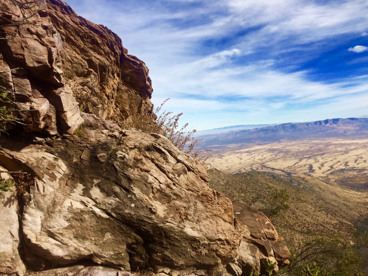
Looking back toward Bisbee.


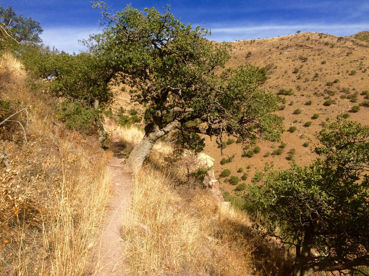
The grass was beautifully overgrown and obstructing the boulder-ridden trail in spots.
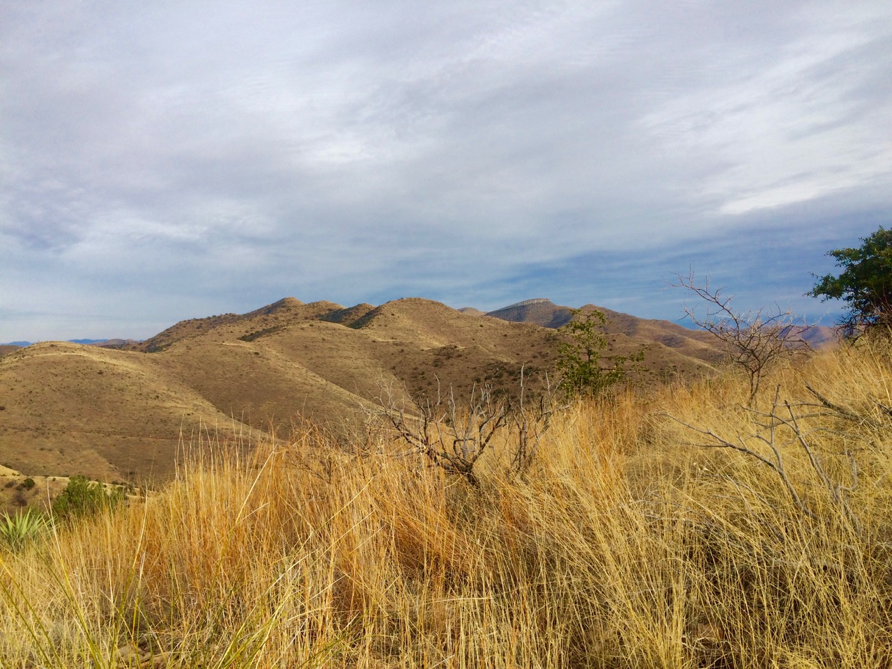
An attempt at arty.


Decades-old water catchments, built when men were craftsmen.
Fence gates are good reference points. This loop has three.

Gate No. 2.

Gate No. 3.

Zacatecas Canyon Road.


Wednesday, December 21, 2016

Miller Peak (Via Crest Trail From Montezuma Pass)

In the time of our new despot, Cheeto Mussolini, and his sidekick, the Pence of Darkness, hiking has become my primary path to sublimation. The hike to Miller Peak yesterday, during a beautiful 70º day, provided quite the catharsis. There are several routes up to Miller Peak, and they are all challenging because of the distance and elevation gain. This route starts at Montezuma Pass in the Coronado National Monument, in the Huachuca Mountains. It uses the Crest Trail, a 9.6 miles out-and-back, with 3,000 feet of elevation gain, and a difficult rating. I must say I slept well last night and might take today off from any serious hiking. Maybe a movie. [AllTrails Map & Hike Recording]
Miller Peak, on the right, is the tallest peak in the Huachucas.

The sign says 5.3 miles, but my GPS disagrees. It's actually 4.8 miles, and fellow hikers mostly agree.


Fire ravaged this range in 2011. It's still beautiful, if deeply scarred.

Not sure what these iridescent lizards are.

Someone put a lot of time and effort into building up this switchback.

On a clear day, you can see forever.


Another dorky selfie (balanced phone on a rock outcropping).


Thursday, December 15, 2016

Zacatecas Grail (Part 3)

Third time wasn't a charm on my hike today, trying to find the route back through Zacatecas Canyon. However, as the Chinese say, 『塞翁失马』“Who's to say it's bad luck.” I did discover another trail back, one that avoids the Canyon in favor of the Shrine Hill trail. Overall an easy 4.5 miles and only 1,000 feet of elevation gain. But some great views. And great 75º weather.

I hate to admit it, but this tree probably looks better dead than alive.
Made this selfie by placing my phone in a tree. What a dork.

I played with the color and light to try and capture what I was actually seeing.
Looking east (the Mule Mountains).


Tuesday, December 13, 2016

Juniper Flats (Not)

Hiked in Juniper Flats today, a cooler partly cloudy 69º. Wherever it got that name I'll never know. Pretty tough bushwhacking hike. But the views were amazing, surrounded by The Huachucas, the Dragoons, the Chiricahuas, the Mules, and a few other ranges.


Sunday, December 11, 2016

Zacatecas Grail (Part 2)

The search for the secret passage to Zacatecas Canyon continued yesterday. Unfortunately, I ran out of time and light just as I found what I think is the trail that completes the loop. If I would have been 40 years younger, I would have mule-(bone-) headedly continued.

Looking back southeast toward Bisbee.

I got about a tenth of a mile beyond this gate before I had to turn back because of the late hour.


Friday, December 9, 2016

Illegal Mexican Lunch

Beautiful but dead Juniper.
Snuck into Mexico yesterday for lunch and some dramatic views. Hiked up Joe's Canyon Trail and down the Yaqui Trail and through the riven fence. Great sense of adventure toying with the border patrol from high above and across the man-made line. FU Cheeto Mussolini and your damned wall.
A view from our lunch spot.

The border from the Mexican side. There were three border patrol vehicles stopped and you could sense the binoculars trained on us.

Looking into Mexico.


Another view from our lunch spot.
The purple line is the US-Mexican border.

Hugh Norris to Wasson Peak

After Saturday's epic twenty mile hiking event, I needed something a little shorter to end my season. Having already established a tradi...