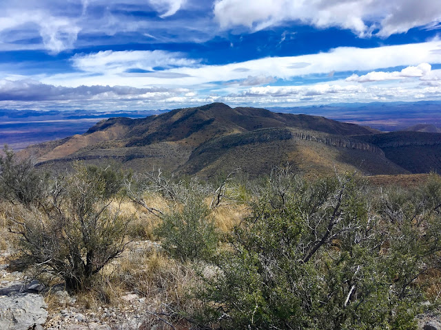
I had always thought Mural Hill got its name because, from a distance, it actually looks like a mural painted on a wall. But after further research, Mural refers to a type of limestone, a compressed fossiliferous stratigraphic formation of the Bisbee Group, dating back to the Cretaceous period (146-66 Ma*). This is basically limestone made up of compressed and crystalized marine fossils from when the Gulf of Mexico began encroaching northward and flooded southern Arizona with a shallow sea.
This explanation, of course, is only valid if you believe in science. If you are a biblical literalist and believe in a young-earth as part of your theology, then Mural Hill was placed where it was 8,000 years ago directly by the hand of God.
*Ma: million years ago
 |
| My hiking pal today is my friend Britt Hansen. |
 |
| Britt's sweet dog Elsie accompanied us. |
 |
| First glimpse of Mural Hill upon which we would take our mid-hike break. Not a mural, but a type of limestone. Hmm... |
 |
| Another limestone formation of Mural limestone of the Bisbee Group. I almost sound like I know what I'm talking about. |
 |
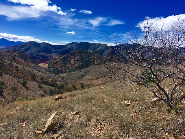
| The old copper mine in Bisbee, aka, the Lavender Pit. |


No comments:
Post a Comment