Beautiful day for hiking just prior to a massive rain front moving in tomorrow, rendering the upper elevations less hike-able.
Because of the front moving in that will dump copious amounts of snow at elevation, I decided to revisit my beloved Huachucas Range near Sierra Vista to introduce my hiking partner to a couple of favorite hikes: Joe's Canyon and Miller Peak. Temps around 70º at the base of the range, around 50º at Miller summit.
This hike really kicked my butt today, perhaps because I haven't yet acclimated to the elevation, but also perhaps due to the distance (17 miles) coupled with the elevation gain and rockiness of the Crest Trail. However, my times were not too far off from my previous visit nearly four years ago.
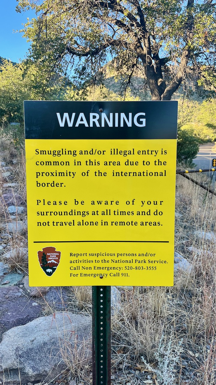
This mountainous U.S.-Mexican border area, remote and challenging to traverse, has always been a favorite place for desperate people crossing into the U.S. Unfortunately, the neo-fascist Maga Republicans have begun their eco-destruction of the once-pristine landscape by building new roads and walls to placate their racist supporters. What was once a porous barbed wire fence that allowed for the necessary movement of people and wildlife, has been replaced by a steel fence that is killing other animals in search of food and water, and forcing immigrants to cross the border in even more inhospitable and dangerous places, often perishing in the effort. As early as 2015, my pal Ira and I used to hike right down to the border on the Yaqui Trail spur off Joe's Canyon Trail, cross over the border into Mexico for lunch, and hike back out all without worry. In 2017, I even led a Muleteam hike down for lunch in Mexico during the first year of the orange one's reign, on a day his head of Homeland Security visited and flew over the area in a Border Patrol helicopter. Now this terminus of the 800-mile Arizona Trail has been rendered unwelcoming to the peoples of both countries.
%20-%203.jpeg) |
| This commemorative stele re-establishing the treaties and border with Mexico. This has now likely been removed. |
%20-%201.jpeg) |
| Looking west from our Mexican lunch spot. This is the fence line marking the U.S.-mexican border as it once was. |
 |
The many mountains (cerro) of Mexico.
|
 |
Misty.
|
 |
One of the amazing walls on this trail, this at around 8,500 feet, probably built by the CCC during the 30s.
|
 |
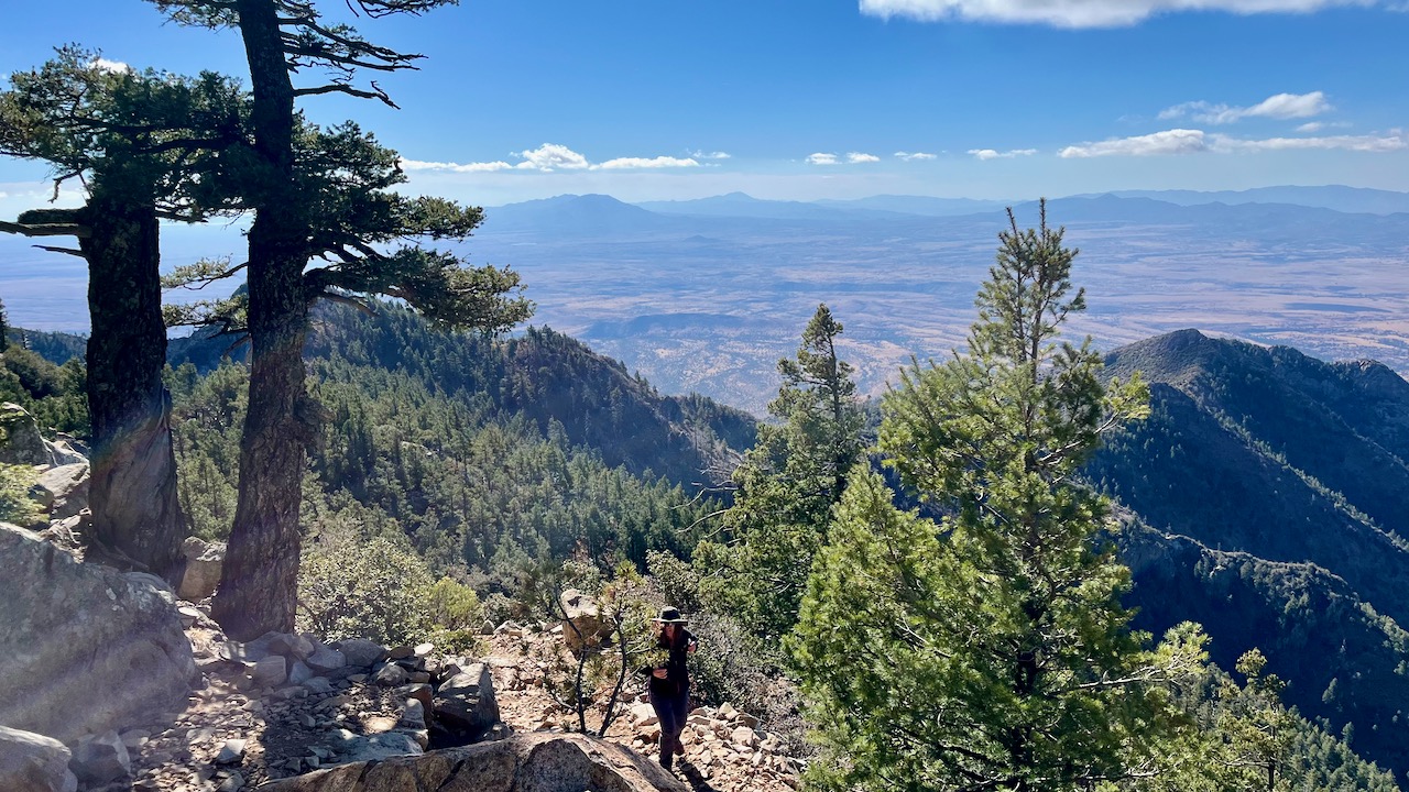
Halfway point and summit. Really not a bad speed considering how steep and rocky the Crest Trail is.
|
 |
| View fromMiller peak. |
Panorama video from the summit.
 |
One of many dead sentries from the massive fire from 15 years earlier.
|


.jpeg)
%20-%202.jpeg)
%20-%203.jpeg)
%20-%201.jpeg)


No comments:
Post a Comment